

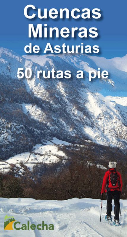
ed. calecha Cuencas Mineras Asturias 50 Rutas a Pie
23.00 €
Estimated delivery 23 Apr 2024
.
.
-
 Free click and collect
-
 Finance your purchase
Features ed. calecha cuencas mineras asturias 50 rutas a pie
<p>50 interesting itineraries through eight councils of the mining basins of central Asturias: Morcín, Riosa, Mieres, Siero, Bimenes, Langreo, San Martín del Rey Aurelio and Laviana. From short and smooth walks to routes with a lot of unevenness in the Sierra del Aramo or the mountains bordering the Redes Natural Park. </p> <p>Each route on foot in the book includes a detailed topographic map, altitudinal profile, a precise description of the development of the itinerary and numerous photographs that allow us to identify the different views that we will find during the route. For those who only want to do smooth or short-term itineraries, a list of 29 options has been included, from the 50 routes described, with sections of interest that can be done comfortably.</p> <strong>Features:</strong> <ul class=unsortedlist> <li>Author: Alberto Álvarez Ruiz</li> <li>8 full color topographic maps</li> <li>Abundant panoramic views to identify peaks</li> <li>More than 1,000 photos</li> <li>Dimensions: 10 x 19 cm</li> <li>520 pages</li> <li>Binding: paperback with flaps</li></ul>
50 interesting itineraries through eight councils of the mining basins of central Asturias: Morcín, Riosa, Mieres, Siero, Bimenes, Langreo, San Martín del Rey Aurelio and Laviana. From short and smooth walks to routes with a lot of unevenness in the Sierra del Aramo or the mountains bordering the Redes Natural Park.
Each route on foot in the book includes a detailed topographic map, altitudinal profile, a precise description of the development of the itinerary and numerous photographs that allow us to identify the different views that we will find during the route. For those who only want to do smooth or short-term itineraries, a list of 29 options has been included, from the 50 routes described, with sections of interest that can be done comfortably.
Features:- Author: Alberto Álvarez Ruiz
- 8 full color topographic maps
- Abundant panoramic views to identify peaks
- More than 1,000 photos
- Dimensions: 10 x 19 cm
- 520 pages
- Binding: paperback with flaps
Discover more products