

-10%
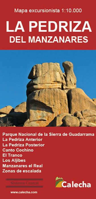
ed. calecha Mapa La Pedriza 1:10000
8.10 €
9.00 €
Estimated delivery 26 Apr 2024
.
.
-
 Free click and collect
-
 Finance your purchase
Features ed. calecha mapa la pedriza 1:10000
The map of La Pedriza del Manzanares is a topographical map at 1:10,000 scale with hypsometric tints and relief shading.
Includes information on highways, forest tracks, paths and trails. Fountains, waterfalls, century-old trees and other useful elements for the visitor are also included. The Pedriza del Manzanares Biosphere Reserve, now integrated into the Sierra de Guadarrama National Park, is a unique place worldwide, because although there are places with similar characteristics, none has its dimensions .
The type of erosion suffered by its granite rocks has shaped an exceptional landscape, with thousands of cliffs and rocks of all imaginable shapes. Despite its small size compared to the entire Sierra de Guadarrama, its convoluted layout creates a labyrinthine complex of alleys that require many visits to get to know and master all this territory.
The 1:10,000 scale of this map is the most appropriate for orienting oneself in the rough sea of granite that is La Pedriza del Manzanares. La Pedriza is not only a paradise for hikers, but it is also the main climbing school in the entire Community of Madrid and one of the main in Spain in terms of the number of itineraries (more than 2,000 open routes).
Most of the cliffs where there are roads are reflected on the map, although openings are constantly being made in new walls, since the repertoire of possibilities is still far from being exhausted.
Discover more products